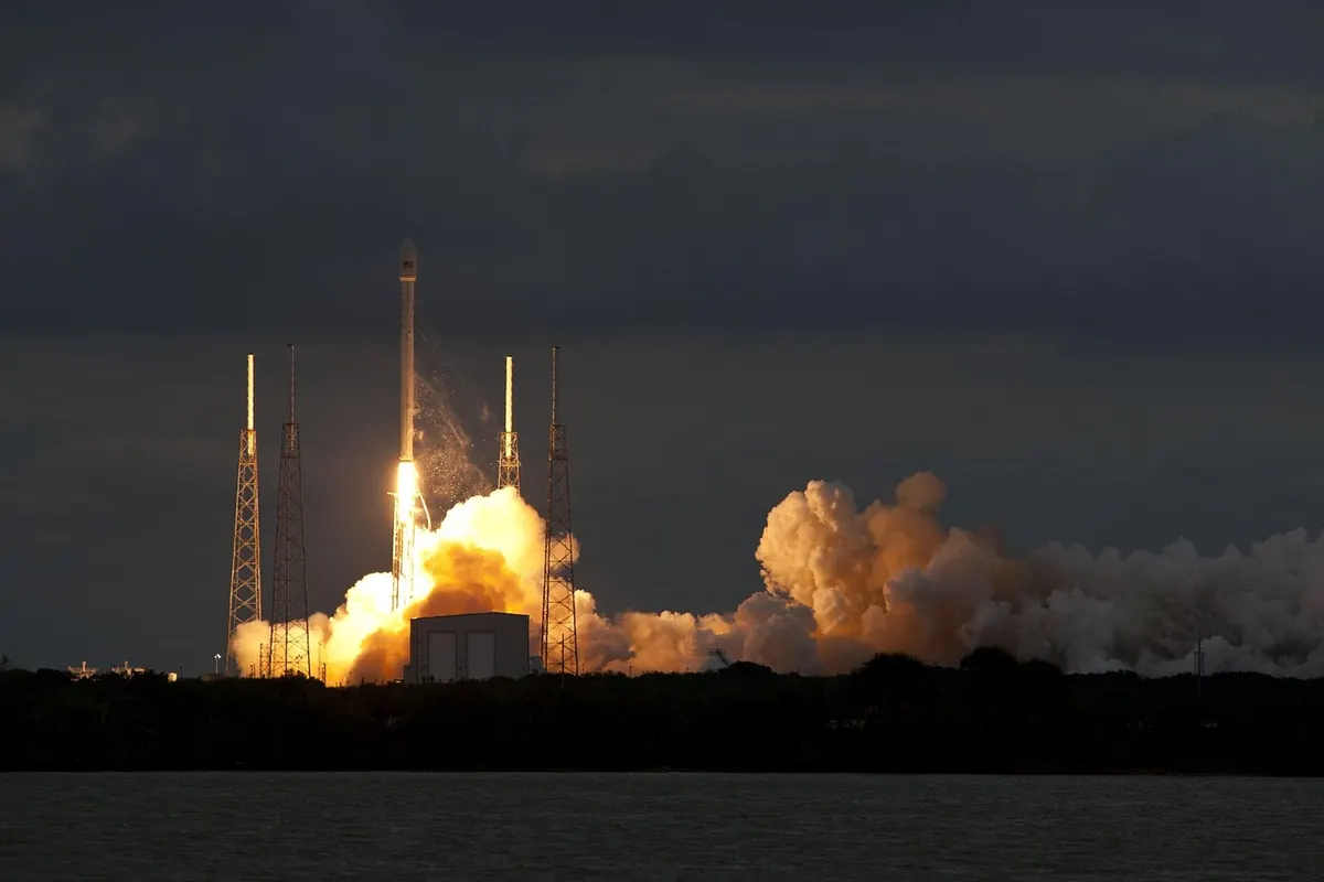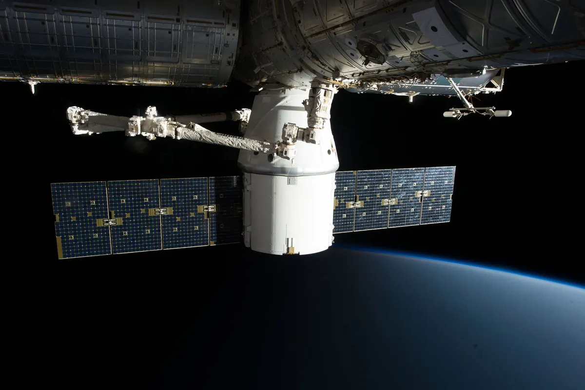
Step outside on a clear evening within an hour or two of sunset and there's a good chance you'll catch a steady point of light sliding across the sky. Wait a few minutes, and another may follow on almost the same track. These aren't aircraft or meteors. They're satellites, and most of the ones you notice belong to a satellite constellation.
The phrase gets used loosely, but it describes something specific. Understanding it changes both what you see overhead and why astronomers keep raising concerns about it.
What a satellite constellation actually is
A satellite constellation is a group of satellites operated as a single system. Instead of one spacecraft doing all the work, dozens or hundreds share it: each satellite covers a slice of the planet at any given moment, and together they keep the service running.
The reason is geometry. A satellite in low Earth orbit laps the planet in roughly ninety minutes, so it's only above your horizon for a few minutes at a time. One satellite can't hold a broadband link, image a region, or relay a signal for long. A constellation staggers the passes so that as one satellite sets, another rises.
Constellations aren't new. Navigation systems such as GPS, Galileo and GLONASS have worked this way for decades. What's changed is the scale of the commercial fleets, and the fact that they orbit low enough to be seen easily with the naked eye.
Orbital shells: the architecture above your head
Think of a shell as a layer of space defined by two things: altitude and inclination. Satellites in the same shell sit at roughly the same height and follow the same kind of path, spaced out so they don't bunch together. A large constellation usually occupies several shells at once.
Altitude shapes what you actually see. Lower satellites, a few hundred kilometres up, move quickly, cross the sky in a few minutes and tend to look bright. Higher ones drift more slowly and look fainter but stay visible for longer. The geostationary belt, around 35,800 km up, is where satellites sit over a fixed point on the equator; those never move in your sky, and you need binoculars or a telescope to pick them out.
Inclination decides which latitudes get served. A satellite inclined at about 53 degrees spends most of its time over latitudes up to 53 degrees north and south — a good match for the UK, which sits between roughly 50 and 59 degrees north. Near-polar orbits cover the whole planet but concentrate their time at high latitudes. That's why constellations often mix shells: some angled for busy mid-latitude regions, others running over the poles for global coverage.
Shells also need managing. More satellites in one narrow band means more close approaches, so operators track conjunctions and manoeuvre to avoid collisions. Debris in a popular shell becomes everyone's problem for a long time.
Who's flying them
The best-known commercial example is Starlink, which has placed thousands of small satellites into low Earth orbit across several shells at different inclinations. OneWeb, with significant UK involvement, runs a smaller fleet in higher orbits in the region of 1,200 km. Amazon's Kuiper project is building another, while Iridium and Globalstar operate constellations for voice and data.
Then there are the navigation constellations: GPS, Galileo, GLONASS and BeiDou. They orbit far higher, in the region of 20,000 km, so they're much too faint for the naked eye — but they're the reason your phone knows where it is.
Why they're so easy to spot from the UK
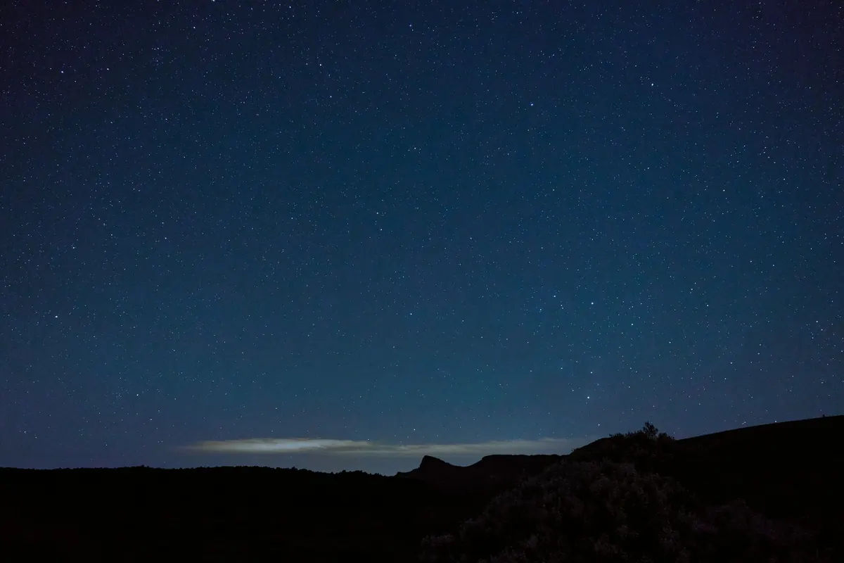
Satellites don't glow. They reflect sunlight, and that's the whole trick. Around sunset and sunrise, the ground is in shadow while satellites a few hundred kilometres above are still catching the Sun. Against a dark sky, they stand out clearly.
Timing is everything. In the UK, the best windows are roughly one to three hours after sunset and the equivalent stretch before sunrise. In deep winter those windows are short. Around midsummer, when the Sun barely dips below the horizon, satellites can stay lit right through the night — convenient for spotters, awkward for astronomers.
Freshly launched satellites often appear as a "train", a line of evenly spaced lights crossing the sky together, before they spread out into their working positions. Brightness varies hugely. Some passes rival the brightest stars; others need a properly dark site and a sharp eye.
Three tells worth remembering:
- Aircraft blink, carry coloured lights and make noise.
- Meteors streak and vanish in a second.
- Satellites move steadily and silently, and often fade out mid-sky.
That last clue is the giveaway. If a bright point dims over a few seconds and disappears while it's still well above the horizon, you've watched it pass into Earth's shadow.
What it means for astronomy
For anyone photographing the night sky, satellites are now a routine annoyance. A long exposure catches them as bright streaks, and the more satellites there are, the more frames get spoiled.
The effects reach further than pictures:
- Imaging: trails across deep-sky photographs, especially in wide-field shots taken during twilight hours.
- Survey work: telescopes that scan large areas of sky can find trails on individual exposures. Software rejects many of them, but data is still lost.
- Radio astronomy: satellites transmit, and faint astronomical signals at nearby frequencies can be drowned out. Radio quiet zones and coordination with operators matter here.
- Dark-sky value: for plenty of people, an unmarked sky is the entire point of stargazing.
Operators have made real efforts to reduce brightness, testing dark coatings and sunshades, adjusting spacecraft orientation, and sharing orbital data so observatories can plan around passes. Astronomers have pressed for better coordination through bodies such as the International Astronomical Union. It's an ongoing conversation rather than a solved problem.
Worth keeping in perspective, though: for most UK observers, light pollution still costs you far more of the night sky than any constellation does. Satellites are an easy target; a badly aimed streetlight is a bigger one.
Getting started: a simple spotting routine
- Pick your night. Clear skies, and ideally within a couple of hours of sunset or before sunrise.
- Check predictions. Heavens-Above, N2YO or Celestrak list passes for your location, with altitude in degrees and brightness. Planetarium apps such as Stellarium, SkySafari and ISS Detector do the same on a phone.
- Find a dark, open spot. A park or a field with a clear view of the horizon beats a lit street every time.
- Let your eyes adapt. Fifteen to twenty minutes away from bright screens and streetlights makes a genuine difference.
- Note the behaviour. Direction, speed, whether it blinks, whether it fades out. That tells you what you're watching.
- Keep a rough log. After a few sessions you'll learn which shells cross which part of your sky, and when.
Do this a handful of times and the sky stops looking like scattered stars and starts looking like infrastructure. You'll be able to tell a shell of satellites crossing your view from a genuinely quiet patch of sky — which is exactly the thing astronomers are trying to protect.
Photo: SpaceX / Pexels